Detect
Remote ID awareness from Bluetooth and Wi-Fi sources, including an NDAA-compliant fixed detection unit option for agency deployments.
Remote ID Detection / OPSx Situational Awareness
TFOdev builds deployable Remote ID detection units and OPSx tools that fuse drone activity, live video, mapping, radio context, field reports, and public safety data into one operational picture.
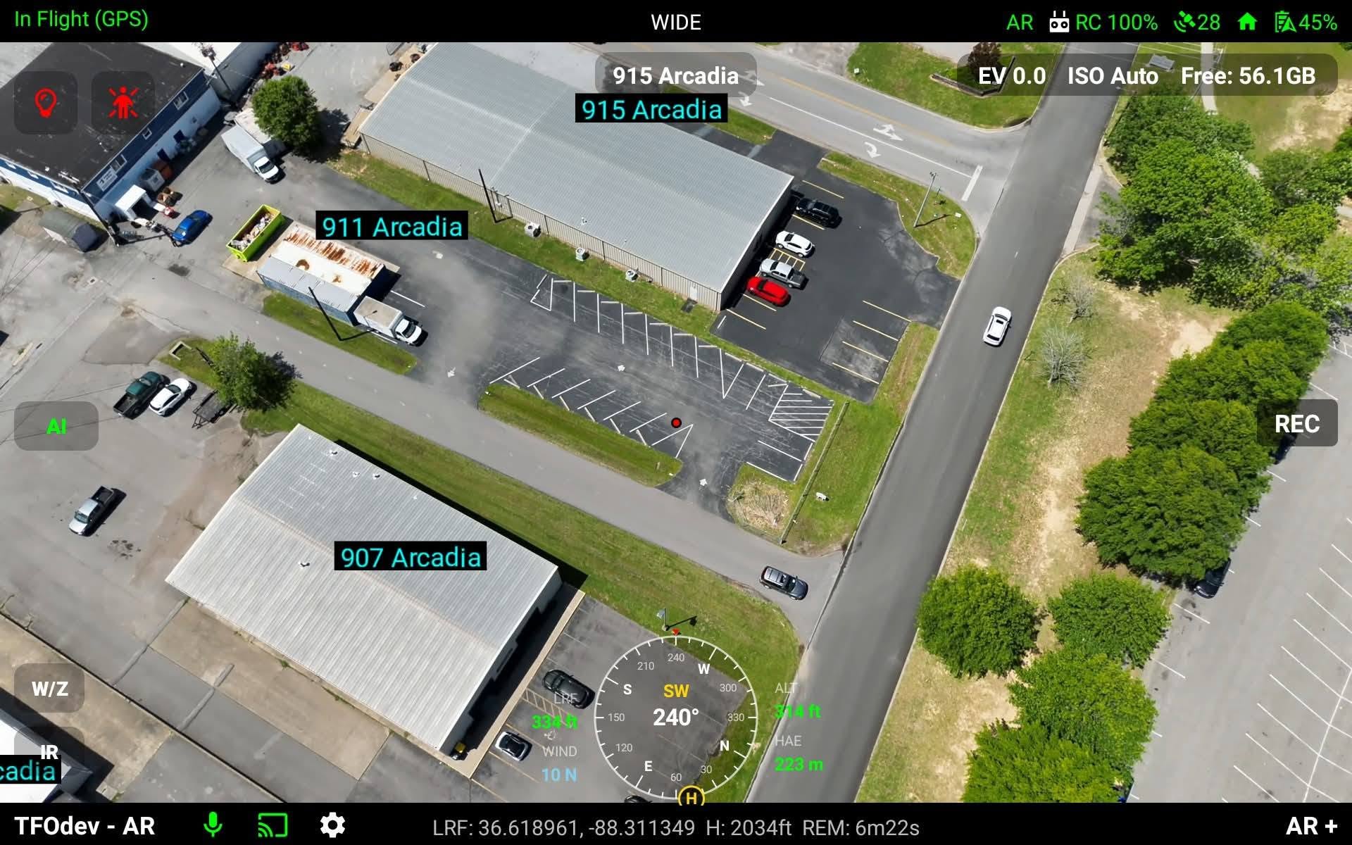
Operational Contract Focus
The work is not just a receiver or a livestream. The contract objective is a usable awareness stack: hardware that detects nearby aircraft broadcasts, software that places that information on a map, and workflows that help command staff make decisions without hunting through disconnected tools.
Remote ID awareness from Bluetooth and Wi-Fi sources, including an NDAA-compliant fixed detection unit option for agency deployments.
Drone, control station, responder, map, parcel, FAA, 911, and field-report data presented in a single operational interface.
Tools for incident response, event overwatch, evidence capture, mission planning, and multi-user collaboration.
About TFOdev
TFOdev is the continuation of years spent building drone, GIS, AR overlay, live video, and public safety awareness tools around real operational problems.
My work in two-way RF radio, software development, and public safety technology started in 2004. The drone work began in 2018, including computer vision projects such as early stand-counting work in agriculture and contract development for Eagle Eye Intelligence in Boca Raton, Florida, now Strax Intelligence Group.
Later that year I founded Responder Air, one of the first 911 AR overlay solutions in the drone space. The platform placed real-time address and street information directly onto live drone video for public safety operations.
Responder Cast followed as a live streaming tool for agencies and supported city, state, and federal teams across riots, hurricane disasters, and other public safety operations. It was acquired by GenPac Drones on April 22, 2021.
Large agencies are not the only teams that need airspace awareness. Volunteer SAR teams, small police and fire departments, emergency managers, and community event groups often face the same operational risk with far less budget.
TFOdev keeps that reality at the center of the work: practical hardware, commodity-radio experiments, and deployment models that can scale down without stripping away the operational value.
I have provided drone detection support for community events, public gatherings, and first responder operations. The goal is to keep useful awareness tools within reach of the teams that need them most.
Remote ID Detection Units
TFOdev Remote ID detection units are built for agencies, response teams, and public event operators that need practical drone awareness in the field. The lineup includes Nano USB, Nano Advanced with OPSx and Wi-Fi, and the Fixed Unit. All detection units cover 2.4 GHz and 5 GHz spectrum. The Fixed Unit is built around NDAA-compliant hardware for agency deployment requirements.
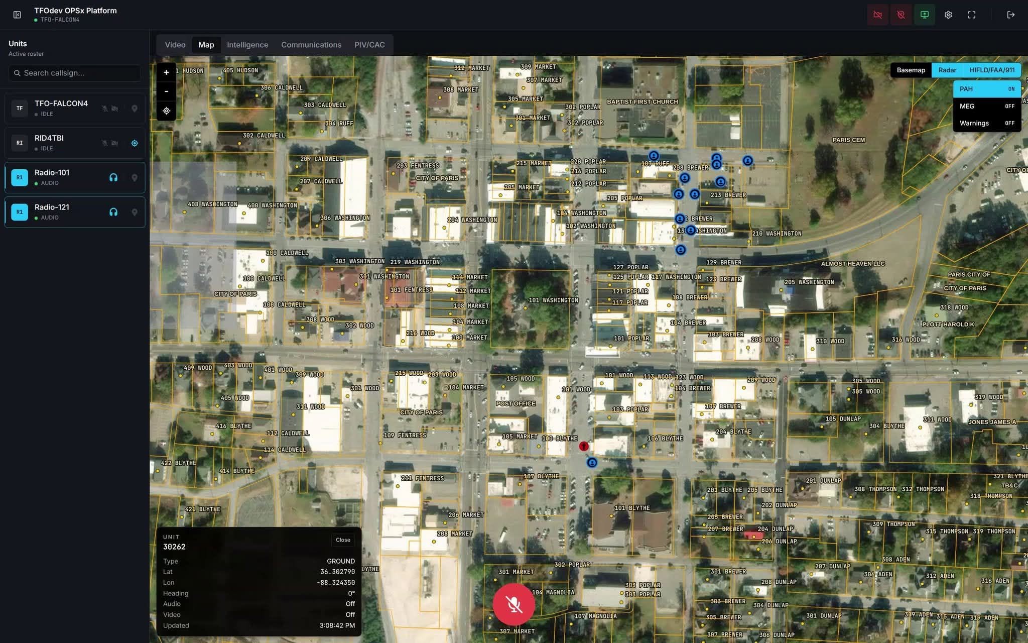
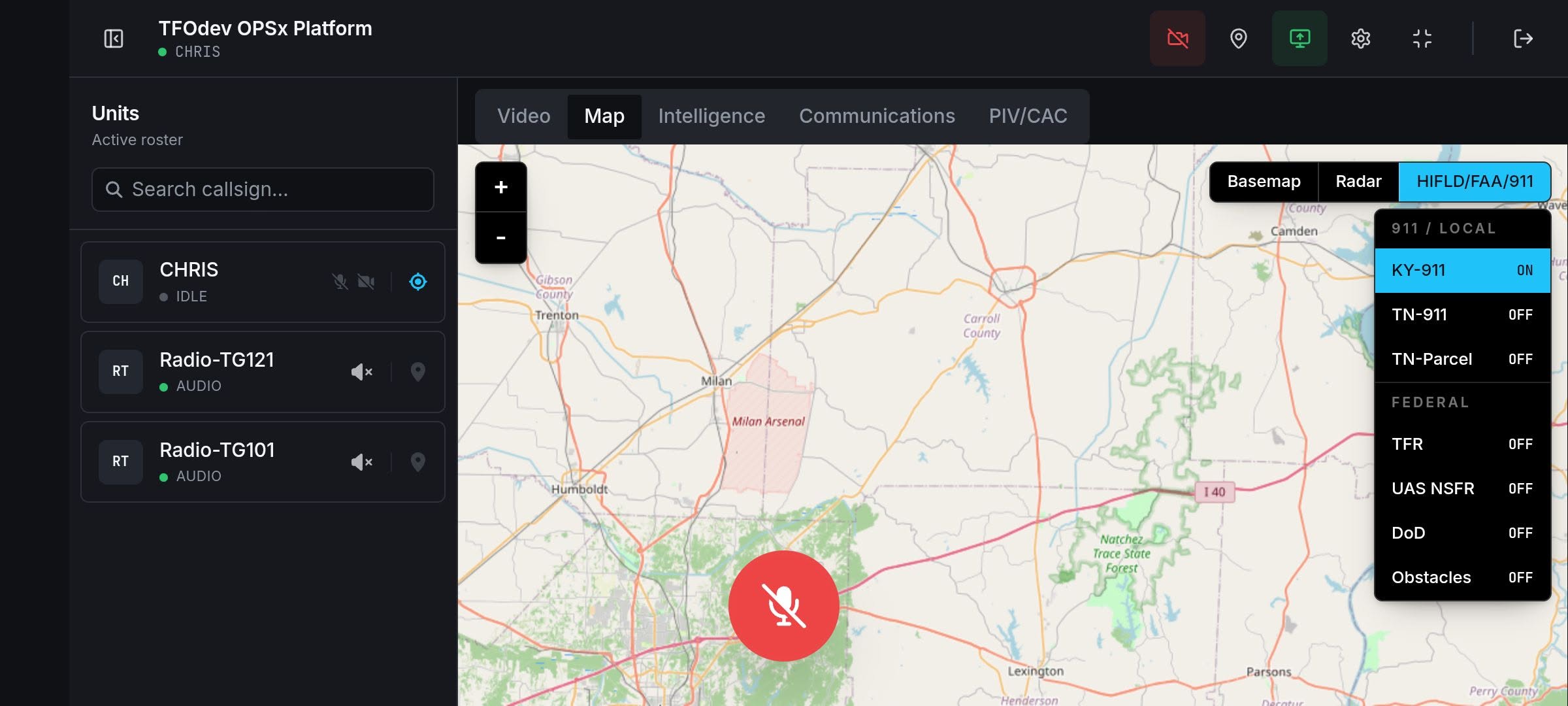
OPSx Situational Awareness
OPSx is designed to combine information from multiple domains into a common operational picture. The goal is simple: help responders, event managers, command staff, and stakeholders understand what is happening across a large, dynamic footprint.
OPSx Lite Ground Team Viewer
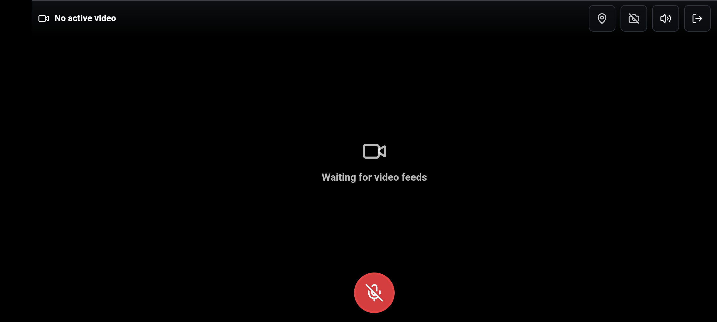
OPSx Lite gives ground teams one active video view at a time. Swipe left or right to move between available feeds while keeping push-to-talk audio and GPS broadcasting close at hand.
OPSx Product Manuals
Product-specific manuals for supported OPSx aircraft workflows, including Mavic 3T, Matrice 30T, Matrice 4T, Avata 2, web command, caster, and tracking support.
Command-room layout, sign-in, top-bar controls, permissions, encryption option, and supported platforms.
Open manual M3T / M30T / M4T Operator ControlsOPSx flight interface, control rails, camera rows, bottom bar, streaming controls, and RC shortcuts.
Open manual M3T / M30T / M4T Live FPV & ARLive FPV, telemetry, AR overlay controls, payload functions, connectivity, and operator notes.
Open manual OPSx Caster / Remote IDGPS, callsign, media event casting, screen sharing, and Remote ID module publishing.
Open manual Avata 2 SetupUSB connection, setup, publishing workflow, background behavior, and audio controls.
Open manual Matrice 4T Quick GuideRC Plus 2 status bar, capture controls, side controls, PIP, and post-takeoff checks.
Open manual DJI Tracking Lite for Pilot 2Lightweight tracking setup reference for DJI Pilot 2 workflows and CalTopo field configuration.
Open manualField Awareness
Situational awareness is created by combining live sources, map context, communications discipline, and RF awareness while protecting sensitive operational information.
Contract With TFOdev
Use this page for Remote ID detection units, OPSx situational awareness, public event support, agency pilots, custom firmware work, GIS integration, and field-ready deployment planning.